(originally published: 2021/01/27)
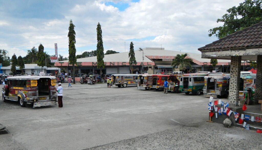
Botolan is a municipality in the province of Zambales in the Philippines. The town was founded by Spanish Governor-General Juan de Salcedo in 1572. According to the census of May 1, 2010, it has a population of 54,434 people living in 31 barangays. It is a 1st class municipality in terms of Income classification (2007).
It is the largest municipality in the province in terms of land area. Located just south of the provincial capital of Iba, Botolan is home to the largest Aeta population in the Philippines. It is also the location of Mount Pinatubo.
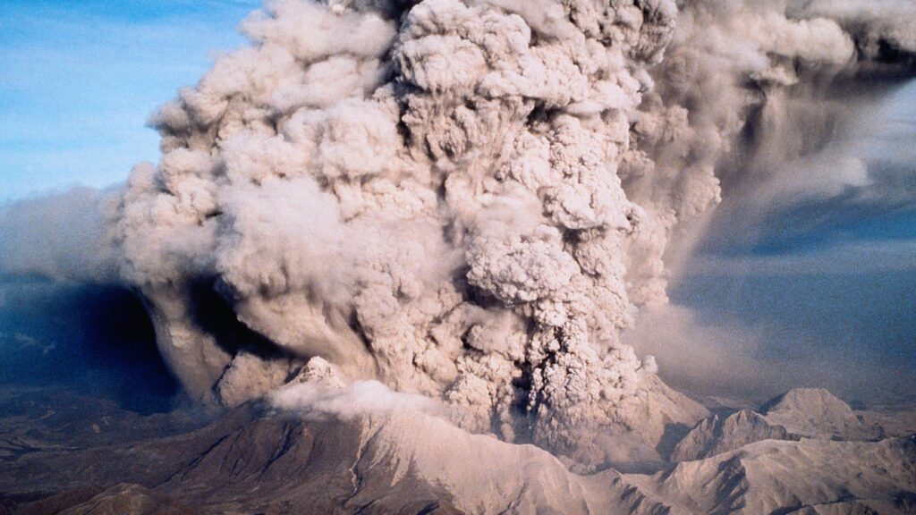

Mt. Pinatubo erupted with great force in June 1991 after 500 years of dormancy. People fled their homes as volcanic debris and ashes rained down from the slopes of Mt. Pinatubo to Botolan and the adjacent towns of Zambales and Pampanga.
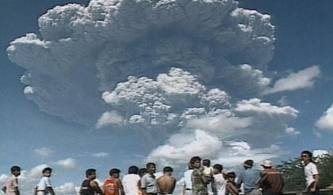
The victims of the eruption were transferred to more than 159 evacuation centers supported by local and international agencies, government and NGOs until permanent relocation sites could be found for them.
After the eruption came another danger: lahar or the pyroclastic flow of deposits. Lahar hazard is caused by the huge amount of sediment poised to fall from Pinatubo’s slopes and the limited storage capacity of the lowlands where the lahar will go. Lahar from Mt. Pinatubo have flowed into Western and Central Luzon since 1991, erasingtowns and causing enormous property losses, social disruption and death.
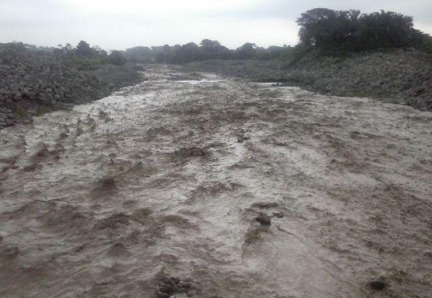
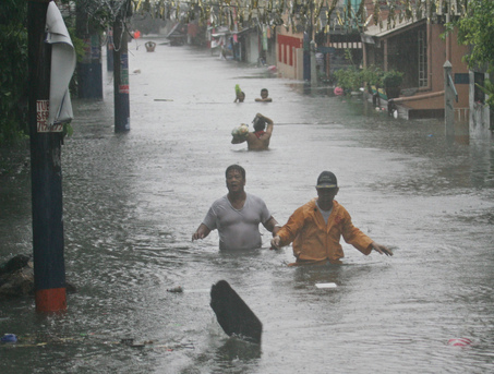
Eighteen years after the Mt. Pinatubo eruption, on August 6, 2009, Typhoon Kiko flooded 11 barangays in Botolan, Zambales. Water rose to 5 feet after a Pinatubo dike was breached and the Bucao River overflowed. More than 13,000 people were left homeless and the National Disaster Coordinating Council declared that Zambales was under a state of calamity. The barangay of lower San Juan was among those severely affected.
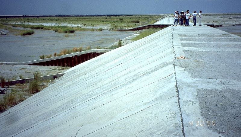
The Pinatubo dike was built in the 1990s to divert floodwaters and lahar (mudflow of volcanic debris) rushing down from the slopes of Mt. Pinatubo to protect the town of Botolan. The dike suffered a one kilometer breach at the height of Typhoon Kiko. The Department of Public Works and Highways was scheduled to upgrade the dike to concrete by October 2009. As a temporary measure, it was making a channel to divert water from the town when Typhoon Kiko struck.
In that same month, three (3) days of heavy downpour from monsoon rains breached the dike again. 7,706 residents were evacuated because 8 barangays were under neck-deep water. The highway connecting Botolan to other towns were flooded and impassable. The flood caused the Bucao River to change its path, reclaiming its old waterway and submerging homes, businesses and the town cemetery. What used to be barangays were now occupied by the swift and swirling Bucao River. According to Botolan old timers, the land occupied by the affected barangays used to be a channel of the river. This was because after the Mt. Pinatubo eruption of 1991, lahar mudflows changed the topography of Botolan and forced the Bucao River to find new pathways to the sea.
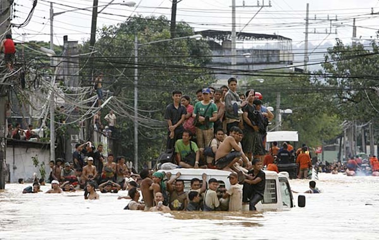
In end September 2009, Typhoon Ondoy bought heavy rains again. It destroyed a bridge, houses and schools. It fed more water to the Bucao River which had now grown in size.
In October 2009, the residents of 4 barangays, including lower San Juan, were informed that they would have to permanently abandon their homes as the Bucao River continued to rampage through their houses. The Bucao River had reclaimed its natural channel and the broken dike will no longer be repaired.
Permanent relocation was the government’s only feasible option.
The affected residents organized themselves into the Nagkakaisang Mamamayan ng Bagong San Juan (NMBSJ). This Peasant Organization was tasked to represent 1,674 families whose homes were displaced and/or endangered by the Bucao River and the lahar mudflows. NMBSJ was tasked to carry on the fight for resettlement and relocation far from the hazardous and low-lying Barangay lower San Juan. A series of consultations and dialogues was held between NMBSJ and the Local Government of Botolan and the Department of Environment and Natural Resources.
The residents wanted a relocation site that would be safe from the hazards of flooding and erosion and where they can build their houses, continue their livelihoods and rebuild their communities.
A woman was elected chairwoman of NMBSJ. She immediately gathered the community to work together on the resettlement issue.
solutions of the nmbsj
1. problem identification was accomplished thru Focus group discussions (fgd)
Affected communities were gathered into groups to discuss the hazards they face and to get their recommended solutions.
Two major problems were identified:
a. Right to Life which was most at risk from the swirling and neck-deep flood waters.
b. Right to Development of lives and properties as the hazard of flooding and erosion have effectively stopped people from planning and implementing projects.
2. working committees formed to address problems and develop solutions
The committees developed a community orientation for problems, issues and concerns using the PANTHER (Participation/ Accountability/ Non-Discrimination/ Transparency/ Human Dignity/ Empowerment/ Rule of Law) principles.
4. formulation of a community plan for resettlement
- Meetings were attended by all the affected members. Interest was high as it concerned their houses and livelihoods.
- A series of information drives was conducted to update community members on the actions of NMBSJ.
- Information drive was participatory to know community’s concerns, obtain feedback and to validate NMBSJ’s resettlement plan.
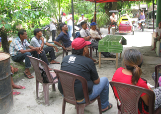
5. Presentation of Community Development Plan to the Barangay Council
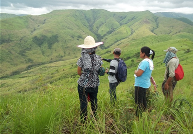
After consultation, development and validation, a Community Development Plan for the re-settlement of Barangay Lower San Juan was adopted. A reclamation site in the upland area called Upper San Juan was identified. This was a vacant rolling land of 73 hectares classified as public land.
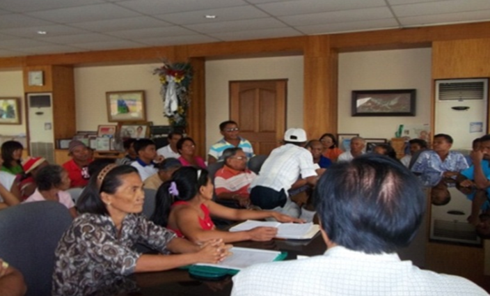
The validated community plan was presented by NMBSJ to Barangay San Juan officials. The Barangay Captain, a woman, and her councilors expressed their solidarity with NMBSJ and their appreciation of the community’s plan which responded to the problems and concerns and identified solutions. The Council drew up a Barangay Resolution endorsing the Plan to the Municipal Government.
With the Barangay Resolution, NMBSJ can now present their proposal to the Municipal Local Government of Botolan (MLGU) and lobby for its approval. Another round of discussions ensued with the Municipal Government of Botolan and the Department of Environment and Natural resources (DENR).
It is to the credit of two women, the NMBSJ chair and the Barangay Chair, that interest and support for the resettlement proposal did not waver because they actively pursued information drives in the communities, lobby activities with MLGU and DENR and followed up operations.
6. presentation of proposal to local government
In February 2012, after almost three (3) years of struggle, the DENR awarded 73 hectares of public land in Barangay Upper San Juan as relocation site for the 1,674 members of NMBSJ.
8. Assessment
7. Approval of Resettlement Plan
The main factor that contributed to the achievement of Disaster Risk Reduction (DRR) in Barangay Lower San Juan was a full understanding and commitment to the process of DRR and the active participation of all concerned stakeholders.
During the assessment, the following insights were shared:
- The community has latent capacities that can be tapped and harnessed.
- Efforts should be aimed at developing capacities of individuals, organizations and communities to cope, avoid and manage disasters and hazards.
- Strengths and resources of communities must be identified that can be utilized in DRR and in recovery from adversity.
- Capacity building for DRR should include survival skills such as swimming, first aid, search and rescue, use of early warning systems, management of food and medical supplies, transport and communication systems.
- The town of Botolan is a high-risk area but activities and measures done in advance can effectively mitigate the risk. These include hazard mapping, monitoring of disaster prone areas, early warning systems and evacuation plans.
- Creating awareness, education and providing continuous information to the community about environmental hazards and risk areas are critical in DRR management.
